
Key Takeaways
- Iran’s water crisis is driven by groundwater depletion, inefficient agriculture, and climate stress.
- Several major cities — including Tehran and Isfahan — face growing pressure on reservoirs and aquifers.
- Drying lakes, subsidence, and desertification reveal a structural mismatch between geography and development.
Iran entered a new political phase when Mojtaba Khamenei was appointed Supreme Leader, days after U.S. and Israeli strikes killed his father, Ali Khamenei, on February 28. The succession unfolded amid escalating regional confrontation and renewed speculation about the stability of the Islamic Republic.
Yet while international attention has focused on the military crisis and the question of regime change, another pressure has been building inside the country for years. Iran is running out of water. Reservoirs are shrinking, aquifers are collapsing, and several of the country’s largest cities face mounting supply risks. Whether coincidental or not, the political upheaval of 2026 is unfolding at a moment when Iran’s environmental limits are becoming impossible to ignore.
To understand how the crisis emerged, it helps to see Iran not just as a country, but as a landscape.
Iran’s water system follows the country’s topography: mountains collect the water, the plateau consumes it, and the deserts absorb what remains.
Mountains → Rivers → Irrigation → Wells → Aquifer depletion → Land subsidence → DesertificationFigure 1 — Iran’s water cycle under pressure. Mountain runoff feeds rivers and irrigation systems. When surface water declines, wells draw down groundwater, eventually leading to aquifer collapse and desertification.
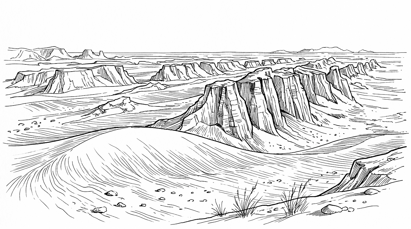
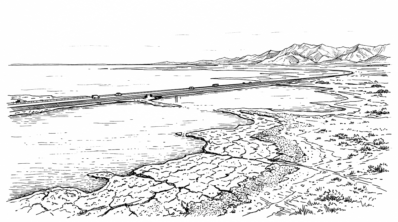
Across Iran the ground is beginning to sink. Cracks appear in roads and farmland, while reservoirs fall to historic lows.
Entire lakes shrink into salt flats visible from space. What once looked like drought is now a structural crisis: Iran is running out of water.
This is not a sudden event. It is the result of decades of accumulated pressure — population growth, agricultural expansion, dam construction, groundwater extraction, and a changing climate. Together they pushed Iran’s water system beyond its natural limits.
A detailed overview of the country’s hydrological geography can be found in the Iran Water Climate Atlas, which maps the main basins, drought zones, and vulnerable cities.
A Dry Country Becoming Drier
Iran lies largely within the world’s semi-arid belt. Rainfall is uneven and concentrated in the mountains along the Zagros and Alborz ranges. Historically, Iranian societies developed sophisticated systems to cope with this environment, including qanats, underground channels that carried mountain water across long distances with minimal evaporation.
NDI Water Stress Index — based on groundwater depletion and surface water availability. Data period: 2026-01-01 – 2026-04-30
Methodology — drought stress
The map shows drought / water stress on a 0–1 scale per hex. Higher values and darker colours mean worse stress versus a long-run baseline—not more water.
1. Area and hex grid
A tile set defines the area of interest. Values attach to H3 hex cells (stable tile_id) at ingest resolution; parent cells receive rolled-up means for coarser map views.
2. Imagery and indices
Optical scenes are fetched primarily via Microsoft Planetary Computer (Sentinel-2 L2A; Landsat Collection 2 for longer archives). Surface reflectance bands feed per-hex indices:
- NDVI — vegetation vigour (NIR, red)
- NDMI — canopy/soil moisture — main drought signal (NIR, SWIR)
- NDWI — open water mapping; secondary for this stress index
Raw indices are stored per tile and date (satellite tile indices table).
3. Calculated stress
Each month is compared to a baseline (same calendar month, historical percentiles on that hex). Three 0–1 stress components are derived (higher = worse):
- Moisture stress — low NDMI vs baseline
- Vegetation stress — low NDVI vs baseline
- Heat stress — high land-surface temperature vs baseline when available
4. Composite: water_stress_proxy
Weighted combination (default ~45% moisture, 35% vegetation, 20% heat) produces water_stress_proxy in the calculated metrics store. This is the field painted on the map—not the legacy water_stress column.
5. Rollup and map
Fine hex values are mean-aggregated to parent H3 cells. The topo map joins geometry by tile_id, classifies 0–1 into five ICA stress bands, and serves a compiled snapshot on the site.
Map — Iran’s water basins and environmental pressure zones. Most of the country lies on an arid plateau where water availability has always been limited.
But modern development dramatically increased water demand.
Since the late twentieth century, Iran’s population has more than doubled to nearly 90 million people. Agriculture expanded into areas that were never naturally water-rich. Large dams and irrigation projects promised self-sufficiency in food production but often ignored the limits of the landscape.
Agriculture now consumes around 90 percent of Iran’s water, much of it through inefficient irrigation systems. 
Groundwater became the safety valve. Millions of wells — many of them illegal — began pumping water from aquifers across the country. Over time this extraction exceeded the natural recharge of those underground reserves.
The result is a growing deficit that cannot easily be reversed.
In the past half century Iran has consumed a large share of its accessible groundwater reserves, while aquifers in many regions no longer recover even in wetter years. 
This is called Evapotranspiration
Incoming:
   Rainfall ↓
   Snowmelt ↓
   River inflow ↓
Outgoing:
   Evaporation ↑↑↑
   Soil evaporation ↑↑
   Transpiration ↑
   Atmospheric heat uplift ↑↑↑ (wet-bulb)
Figure 2 – Shows why Iran loses more water to air than it receives. Heat converts all water to instant atmospheric loss, not storage.
The Hidden Collapse Underground
The most dramatic effects are often invisible.
As aquifers empty, the soil above them compresses. Entire regions begin to subside. In parts of Iran the ground sinks more than twenty centimeters per year — several times faster than the global average. 
Satellite data now show widespread subsidence across central Iran, affecting cities such as Tehran, Isfahan, and Karaj. Infrastructure — roads, railways, pipelines — slowly warps and cracks.
Unlike reservoirs, aquifers cannot easily be restored once their structure collapses. The damage can become permanent.
This means the water crisis is not only about shortages today. It is also about the irreversible loss of future water storage.
The World is Occupied by the Supply Chain of Oil and Gas. In the Near Future it is Fresh Water that we’ll have to worry about.
Oil is a Fuel for Our Economies. Water is the Fuel for Our Body.
– G. A. R.
Dying Lakes and Dust Storms
Surface water tells a similar story.
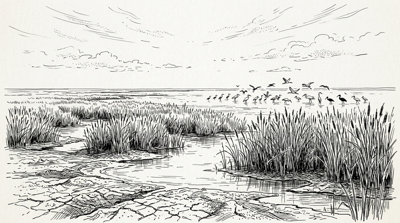
Several of Iran’s largest lakes and wetlands have shrunk dramatically. Lake Urmia, once the largest saltwater lake in the Middle East, has lost most of its surface area after decades of river diversion and drought.
Other wetlands — Hamun, Gavkhouni, and Bakhtegan — have followed similar trajectories. When lakes disappear they often leave behind salt flats, and winds lift this dust into the air, creating storms that can spread across entire regions. What begins as water scarcity can therefore evolve into an environmental and public health crisis.
Locations
Dasht-e Lut
Dasht-e Lut is a large salt flat in southeastern Iran, recognised as a UNESCO World Heritage Site.
Hamun Wetlands
The Hamun wetlands are a system of shallow lakes in the Sistan Basin on the Iran-Afghanistan border.
Lake Urmia
Lake Urmia is a hypersaline endorheic lake in northwestern Iran.
Regional Fault Lines
The geography of Iran’s water crisis is uneven. Different parts of the country experience distinct forms of environmental stress depending on climate, water sources, and economic activity.
In the northwest, the Lake Urmia basin illustrates the collapse of surface water ecosystems.
In eastern Iran, the Hamun wetlands near the Afghan border depend heavily on cross-border river flows that fluctuate with regional drought and upstream water management.
Central provinces such as Yazd, Kerman, and parts of Fars face a different challenge: extreme dependence on groundwater, which has led to some of the most dramatic aquifer depletion in the country.
Together these regions illustrate a broader pattern. Iran’s water crisis is not confined to one basin or province but stretches across the central plateau in different forms.
Cities Under Pressure
The crisis is increasingly visible in Iran’s cities.
Tehran, a metropolitan area of more than fourteen million people, increasingly depends on reservoirs and groundwater drawn from surrounding basins. Several studies have also documented severe land subsidence across the Tehran plain as aquifers are depleted.
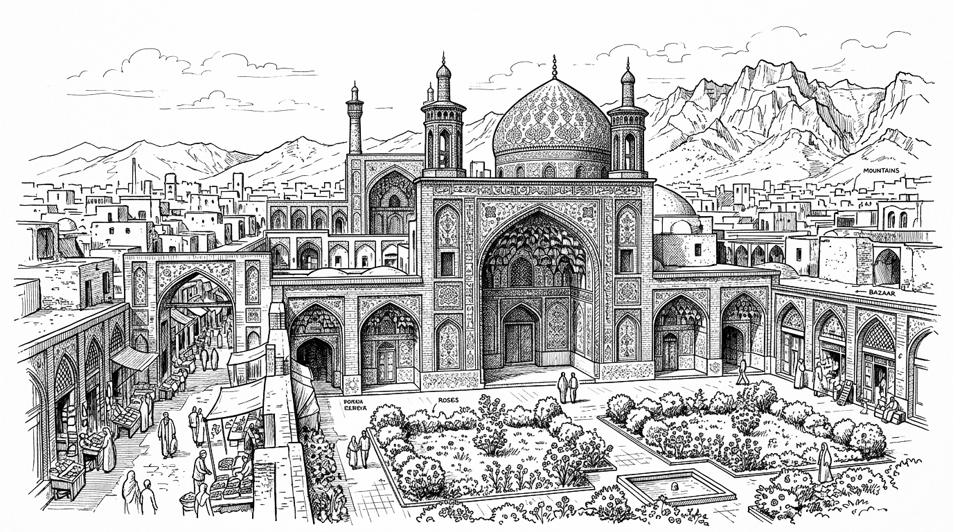
Further south, Isfahan faces a different version of the same problem. The historic Zayandeh-Rud River, once the lifeline of the city, now runs dry for much of the year. Farmers downstream compete with urban demand and industrial use, leaving the riverbed frequently empty beneath the city’s Safavid bridges.
Other large cities such as Mashhad face increasing pressure on reservoirs and groundwater resources.
Several other urban areas, including Shiraz and Ahvaz, face combinations of water stress, heat, and environmental degradation.
Across the country, urban growth is colliding with the natural limits of Iran’s water geography.
Locations
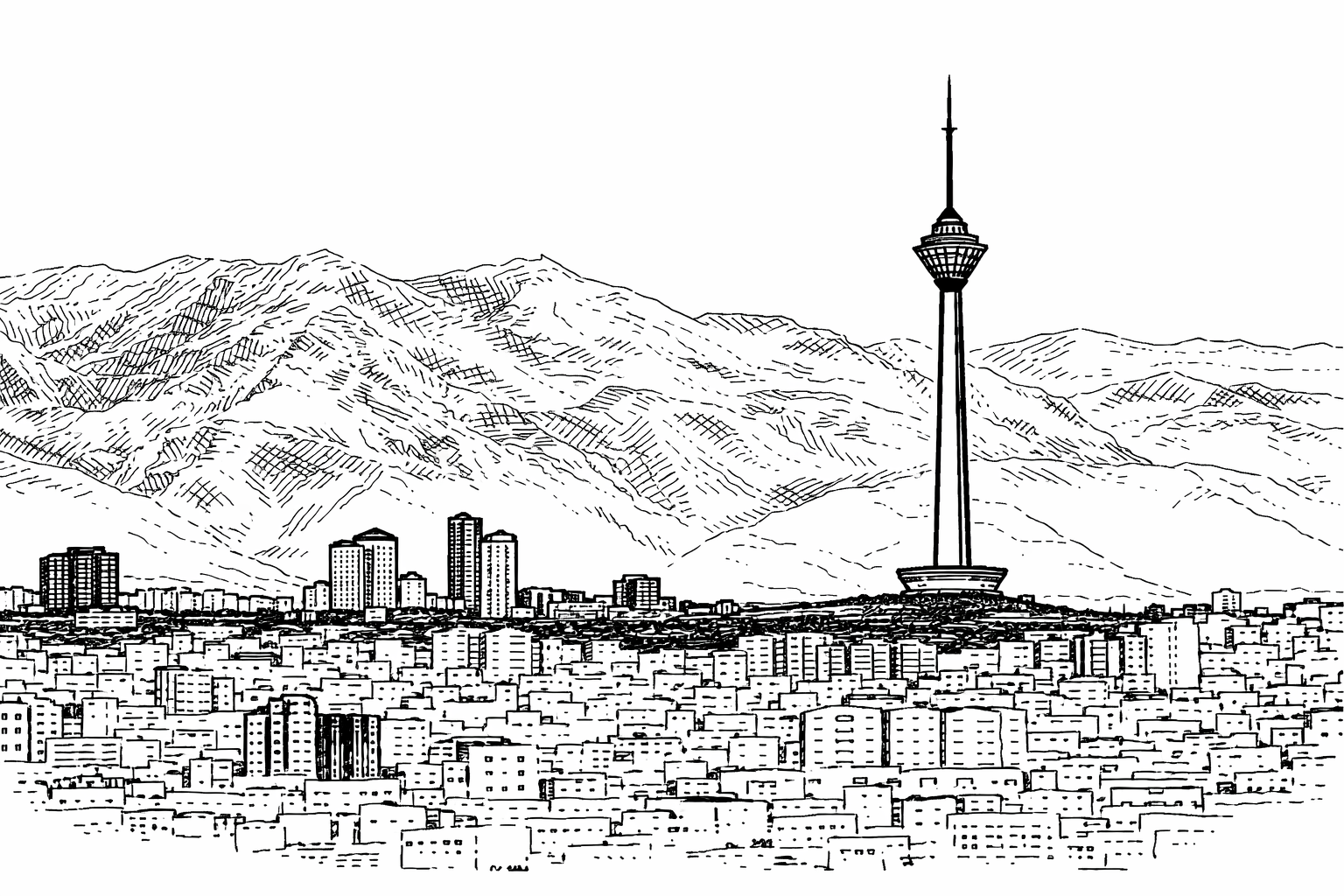
Tehran
Tehran is the political, economic, and administrative heart of Iran. Located at the foot of the Alborz Mountains, the city serves as the seat of national governance, strategic planning, and internal connectivity across Iran’s plateau regions.
Mashhad
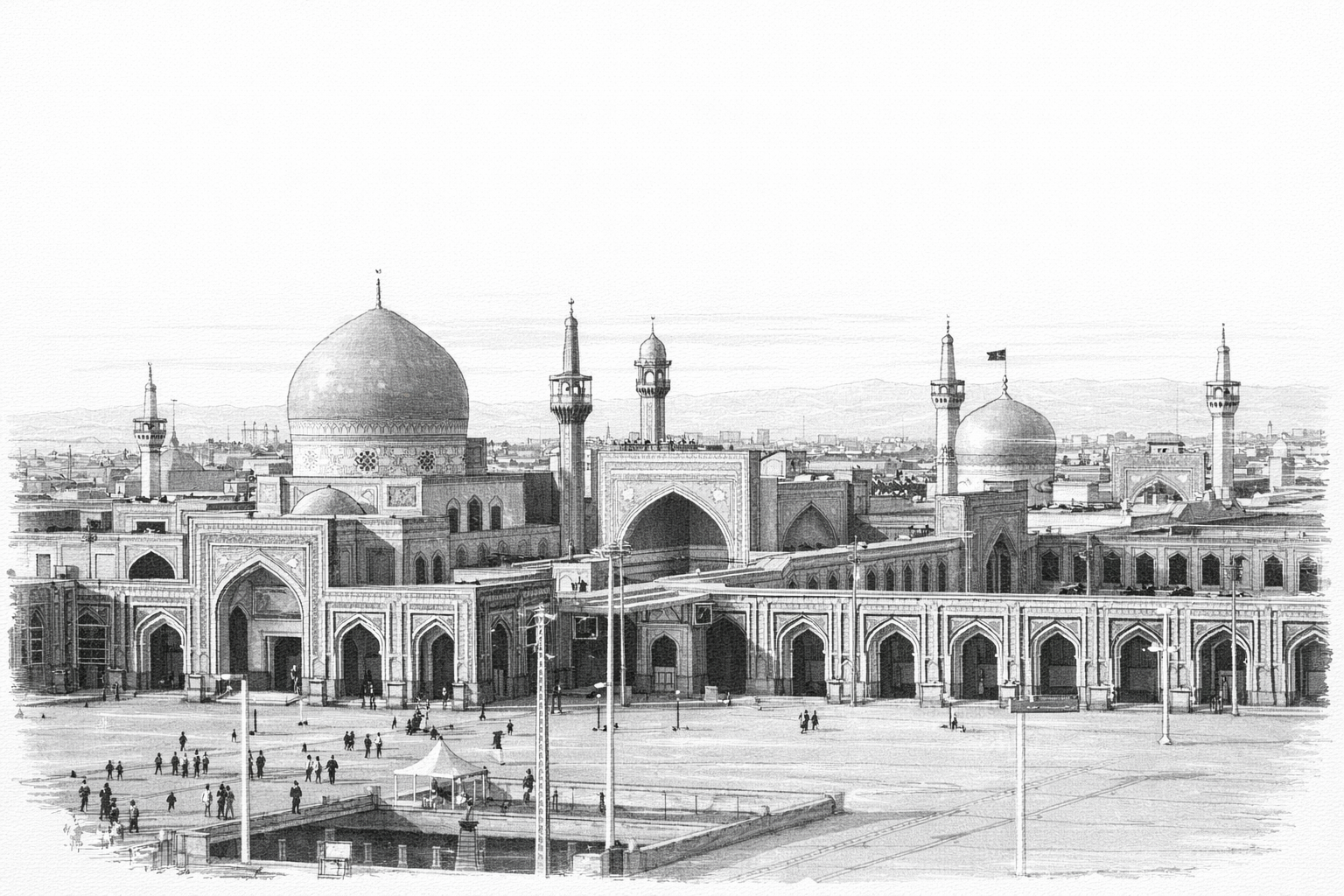
Mashhad is Iran’s second-largest city and the most important Shia pilgrimage centre, anchored by the shrine of Imam Reza.
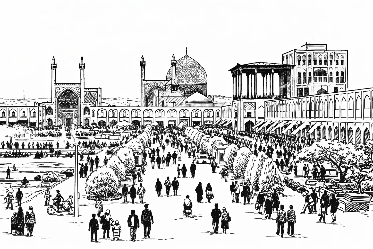
Isfahan
Isfahan is one of Iran’s most historically significant cities, known for its early-modern imperial architecture, administrative heritage, and central role in shaping Persian urban and political identity.
Shiraz
Shiraz is a major cultural, administrative, and commercial centre in southern Iran, historically known for its literature, arts, and regional governance role.
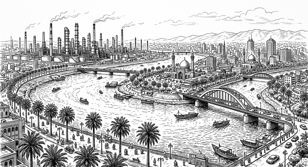
Ahvaz
Ahvaz is the capital of Khuzestan province and Iran’s primary energy city, anchoring oil, gas, and petrochemical infrastructure near the Iraqi border.
A Climate Multiplier
Climate change is not the sole cause of Iran’s water crisis, but it is amplifying it.
Higher temperatures increase evaporation from reservoirs and soils. Heat waves raise demand for electricity and water at the same time. Rainfall patterns are becoming less predictable, with longer drought periods interrupted by intense storms.
In an already fragile system, these shifts act as a multiplier of risk.
A Structural Challenge
Iran’s water crisis is therefore not simply about drought. It reflects a deeper mismatch between geography, development, and governance.
A country with limited renewable water resources has built an economy and population structure that requires far more.
The coming decades will likely force difficult choices: which crops to grow, which industries to support, and even which cities can sustainably expand.
Understanding these pressures requires seeing the geography behind them.
For readers interested in the underlying hydrological landscape, the Iran Water Climate Atlas provides a structured overview of the basins, drought zones, and environmental fault lines shaping the country’s future.
The geography of the crisis stretches from the dried basins of Lake Urmia in the northwest to the desert aquifers of Yazd and Kerman and the growing urban demands of Tehran, Isfahan, and Mashhad.
Iran’s water crisis is often described as an environmental issue, but it reflects something deeper: a mismatch between geography, development, and governance. A country with limited renewable water resources has built an economy and population that require far more.
Understanding that mismatch begins with geography — the mountains, plateau, and desert basins that shape the limits of Iran’s water system.
⸻
References
- NASA Earth Observatory — Lake Urmia Shrivels Again
https://earthobservatory.nasa.gov/images/151913/lake-urmia-shrivels-again - Deutsche Welle — Iran’s Water Crisis Leads to Ground Collapse
https://www.dw.com/en/irans-water-crisis-leads-to-alarming-ground-collapse - Reuters — Tehran Taps Run Dry as Water Crisis Deepens
https://www.reuters.com/sustainability/land-use-biodiversity/tehran-taps-run-dry-water-crisis-deepens-across-iran - Gulf International Forum — Iran’s Water Crisis: Governance, Climate and Survival
https://gulfif.org/irans-water-crisis-governance-climate-and-the-politics-of-survival - Special Eurasia — Iran Water Scarcity Strategy
https://www.specialeurasia.com/2025/11/14/iran-water-scarcity-strategy - Le Monde — Iran Faces Its Worst Drought in Six Decades
https://www.lemonde.fr/en/environment/article/2025/11/14/iran-faces-its-worst-drought-in-six-decades - Broad Horizon — Iran Water Climate Atlas
https://broad-horizon.eu/sandbox/iran-water-climate-atlas/
Download the Broad Horizon App
