Alborz Mountains
Intro
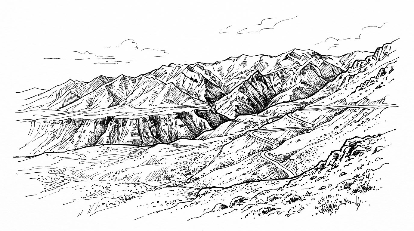
The Alborz Mountains form a major east-west range in northern Iran, separating the Tehran plateau from the Caspian Sea coast. The range contains Mount Damavand, the highest peak in Iran and the Middle East at 5,610 metres. The Alborz acts as a climatic barrier, giving the Caspian slope a humid subtropical climate while the southern slopes remain arid.
Background
History
The Alborz Mountains have served as both a barrier and a refuge throughout Iranian history. Their steep northern escarpment dropping to the Caspian coast created a zone of unusual climatic and ecological richness that allowed independent polities to survive long after the Iranian plateau was conquered. The Bavandid and Dabuyid dynasties maintained semi-independent rule in the Caspian hinterland for centuries after the Arab conquest by retreating into the Alborz whenever threatened. The mountains also served as a natural defence for Tehran when the Qajar dynasty made it the capital in 1796 – the Alborz wall to the north provided strategic depth against the northern approaches. The silk road routes between Tehran and the Caspian coast threaded through the Alborz passes.
Present Day
The Alborz today serves several critical functions. The mountains are Iran’s most important natural water storage system, with snowpack on the high ranges recharging the aquifers and rivers that supply Tehran and the northern provinces. Ski resorts on the southern slopes of the Alborz above Tehran are among the most used in the Middle East. Mount Damavand, the highest peak, is a symbol of Iranian national identity and a popular climbing destination. The mountains’ forests on the northern Caspian slopes represent one of the last remaining examples of the ancient Hyrcanian temperate forest that once stretched from northern Iran to Azerbaijan, now a UNESCO World Heritage Site.
Future Outlook
Map
Dynamic Map
Map will render on the frontend using the post's location coordinates.
Articles
No results found.
Event Timeline
No results found.