Zagros Mountains
Intro
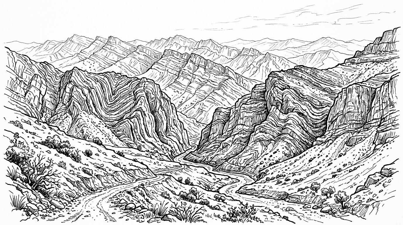
The Zagros Mountains form the largest mountain range in Iran, stretching over 1,500 kilometres from the border with Turkey and Iraq southeastward to the Strait of Hormuz. They divide Iran’s western border regions from the central plateau and contain rich oil and gas deposits in their fold structures.
Background
History
The Zagros Mountains have been inhabited since the Paleolithic period. The hills and valleys of the Zagros were home to some of the earliest agricultural communities in the world – the Fertile Crescent’s eastern arm – where wild ancestors of wheat, barley, lentils, and domesticated sheep and goats were first cultivated and bred around ten thousand years ago. The Zagros was the homeland of the Medes, the first Iranian people to establish a major empire, who descended from the mountains to overthrow the Assyrian Empire in 612 BC. The Bisotun inscription of Darius the Great, carved into a Zagros cliff face, is one of the most important historical documents of the ancient world. The Bakhtiari, Lur, Qashqai, and Kurdish tribal confederations have inhabited the Zagros for centuries, following seasonal migration routes between mountain summer pastures and lowland winter grounds.
Present Day
The Zagros today forms Iran’s most important natural boundary to the west and contains the country’s richest oil and gas deposits in its folded anticline structures. The mountain range’s rivers, particularly the Karun, Dez, and Karkheh, feed the agricultural economy of Khuzestan and supply Iran’s largest hydroelectric dams. The Zagros’s Kurdish, Lur, and Bakhtiari populations maintain distinct ethnic and tribal identities that create periodic tension with the centralised Iranian state. The forests of the central Zagros, dominated by oak, are among the most threatened ecosystems in Iran due to illegal logging, charcoal production, and climate-driven drought.
Future Outlook
Map
Articles
No results found.
Event Timeline
No results found.