Kerman
Intro
Situated on the central Iranian plateau, Kerman serves as the principal urban centre of southeastern Iran. Its position places it along internal trade and logistics routes connecting central Iran with the southeast and the Persian Gulf hinterland.
Background
Kerman’s geographic position historically placed it on desert caravan routes linking the Persian interior to the Indian Ocean trade system. Agricultural production, mining, and regional trade reinforced its role as a regional hub.
History
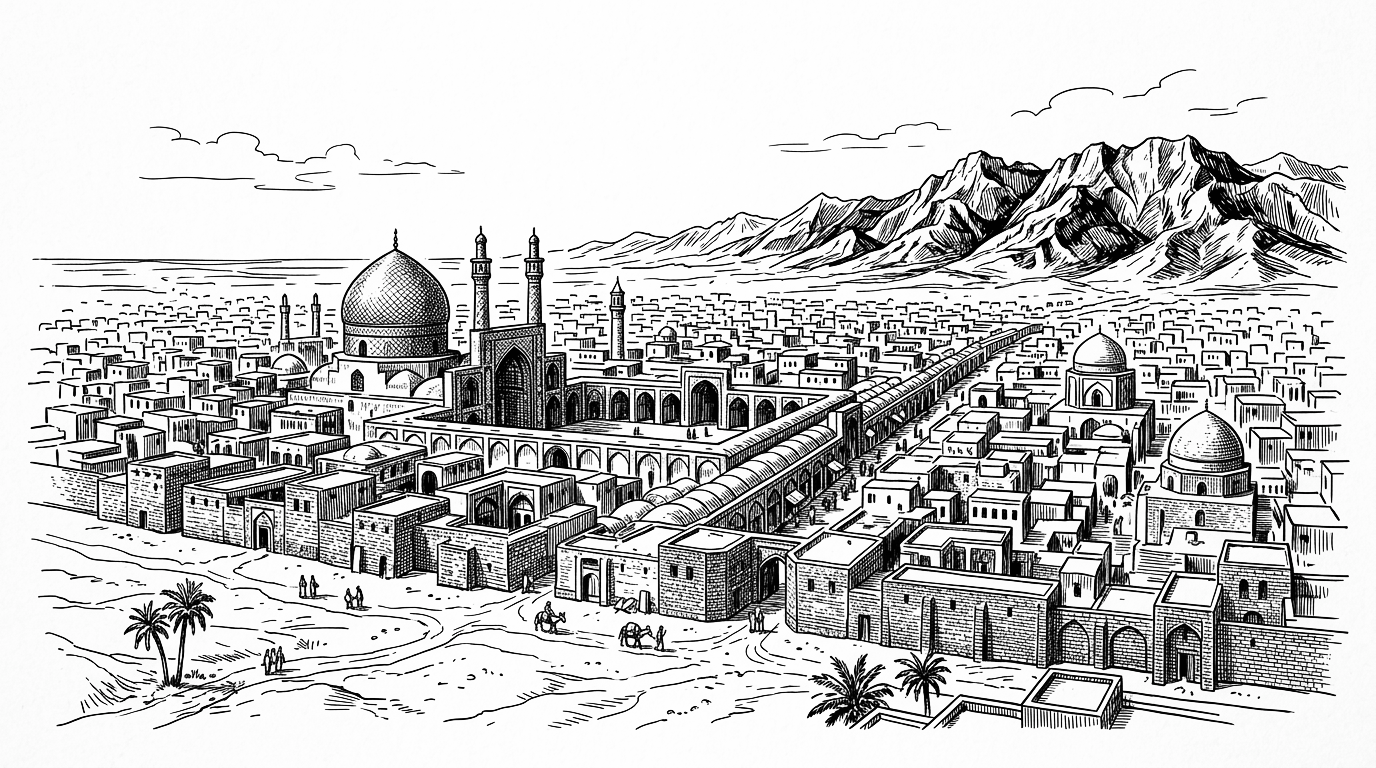
Kerman’s recorded history extends to the Sassanid period when it was a regional centre on the southeastern plateau. Through the medieval Islamic era the city prospered on the trade routes crossing toward Central Asia and India, renowned for its carpets. The city changed hands among the Buyids, Seljuks, Mongols, and Timurids.
During the twentieth century Kerman’s economy was transformed by the development of the Sarcheshmeh copper complex, one of the world’s largest copper deposits, which brought heavy industry to what had been a craft and agricultural economy. Water stress from severe aquifer depletion across the southeastern plateau has become a structural challenge threatening the long-term habitability of the surrounding region.
Present Day
Today Kerman is an industrial and educational centre with strong mining, agriculture, and manufacturing sectors. Its regional role is reinforced by transportation infrastructure connecting the Iranian plateau to southeastern provinces.
Future Outlook
Map
Articles
No results found.
Event Timeline
No results found.