Iranian Central Plateau
Intro
The Iranian Central Plateau is a vast elevated arid zone covering much of central Iran, including the Dasht-e Kavir and Dasht-e Lut deserts. Provinces including Yazd, Kerman, Isfahan, and Semnan sit on this plateau. The region faces critical groundwater depletion as surface water is scarce and agricultural and urban demand has exceeded recharge rates.
Background
History
The Iranian Central Plateau is one of the oldest continuously settled landscapes in the world. Prehistoric sites including Sialk near Kashan demonstrate urban organisation dating to the sixth millennium BC. Through the Bronze Age and Iron Age successive cultures exploited the plateau’s aquifer systems and developed the qanat underground canal technology that made large-scale settlement possible in the arid interior. The Median, Achaemenid, Parthian, and Sassanid empires all drew on the plateau’s human and agricultural resources. The Islamic conquest of the seventh century brought new administrative structures but did not fundamentally alter the plateau’s settlement geography, which remained organised around water access through qanats and seasonal rivers.
Present Day
The Central Plateau today is Iran’s most water-stressed region. Aquifer depletion is occurring at rates of one to three metres per year across most of the plateau’s major basins. Land subsidence caused by groundwater extraction has been measured at 25 to 35 centimetres per year in parts of the Isfahan and Tehran plains. Cities including Isfahan, Yazd, Kerman, and Kashan face structural threats to their long-term water security. The plateau’s agricultural economy, which depends almost entirely on groundwater, is contracting in areas where wells have run dry.
Future Outlook
Map
Articles

EU launches Call for EU business to invest in Ukraine’s recovery and reconstruction
The EU launched a Call for Expression of Interest to mobilize private EU investment in critical areas to support Ukraine’s rebuilding efforts. This includes up to €50 billion in grants and loans for the period 2024-2027. Find out how to apply.
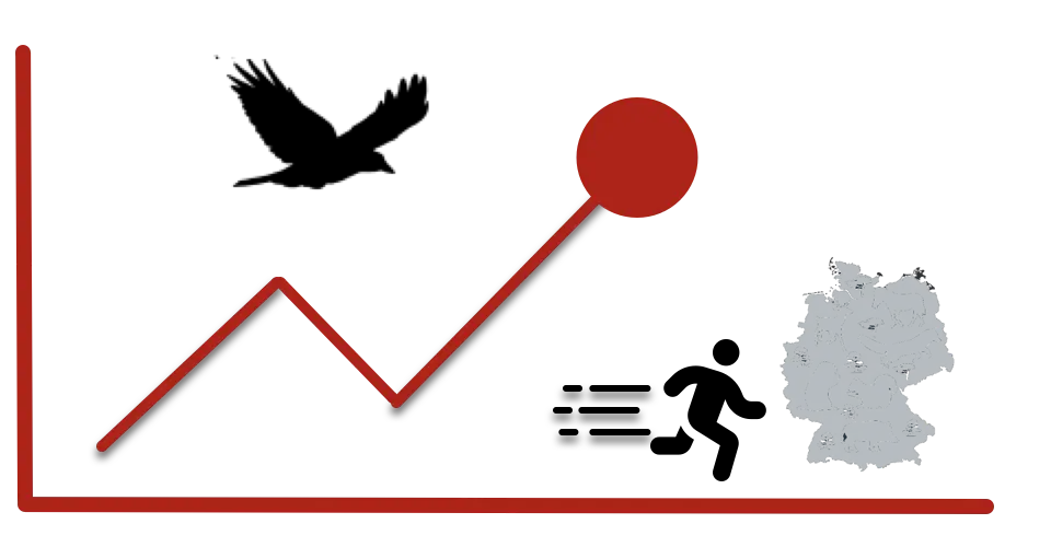
Monthly Report on influx of Asylum Seekers in Germany – September 2024
The global trend is slightly downwards this year and in comparison to last year (2023)
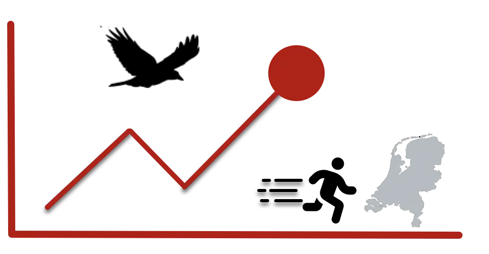
Monthly Report on influx of Asylum Seekers in The Netherlands – September 2024
Higher influx than last month. The global trend is slightly downwards this year and in comparison to last year (2023)
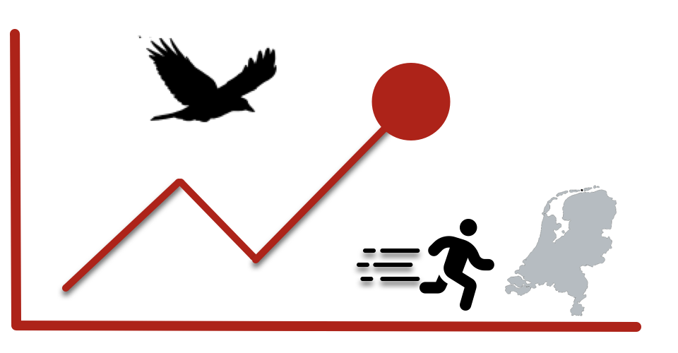
Monthly Report on influx of Asylum Seekers in The Netherlands – August 2024
The global trend is slightly downwards this year and in comparison to last year (2023)
Why You should vote on the european Parliament elections this week
Members of the European Parliament represent citizens of EU countries to address important topics in your daily life. Read more to find out how.
Monthly Report on influx of Asylum Seekers in The Netherlands – April 2024
The Global Trend is currently stable with 2.690 new applications. A higher amount from Unknown Origin (130.
Monthly Report on influx of Asylum Seekers in The Netherlands – March 2024
A minor upward Trend while the majority still originates from Middle East Countries.
Event Timeline

Polish-Lithuanian Rule over Ukraine
Before Moscow, there was Lublin. The Polish–Lithuanian Commonwealth laid the groundwork for Western Ukrainian identity — and for centuries of contested rule.
The EU Need To Step Up As Geopolitical Power
1,000 sad days of war in Ukraine. China influence is moving forward. The US turns inward. Time to take action in Europe.